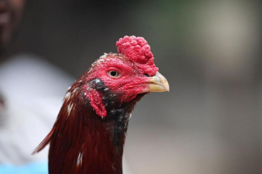
 Galwa, or Galva, means "Bearded".
1 Comment
 Madipara means Hennie or Hen-feathered.  Theekar is "Walnut Comb" or literally means "Shell". 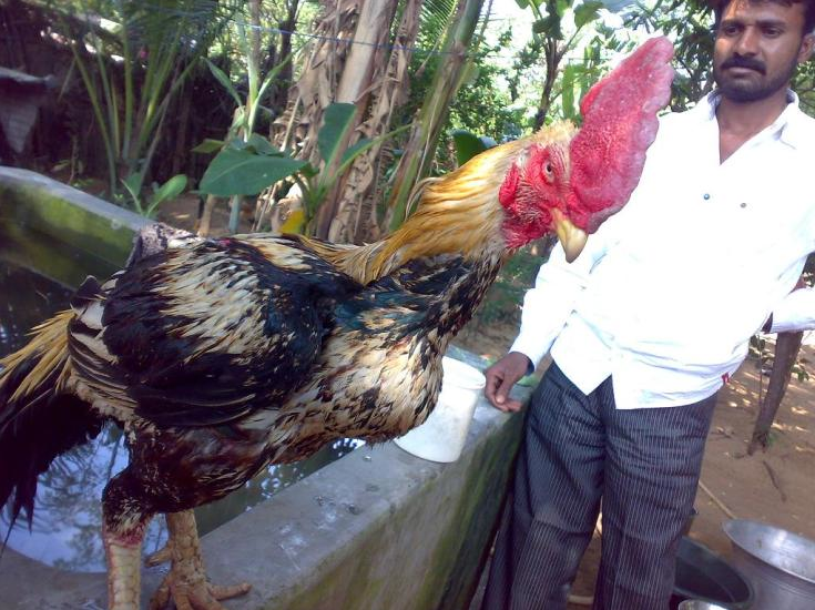 Bihaingam means "Single Comb".  Lassani aseel is a shank hitter bred in Pakistan.  The Meeteis or Meiteis are the majority ethnic group of Manipur, India, and because of this are sometimes referred to as Manipuris. Generally speaking, Meitei is an endonym and Manipuri is an exonym. The Meitei people are made up of seven clans, who trace their written history back to 33 AD. Manipur is a state in northeastern India, with the city of Imphal as its capital. Manipur consist of Kangleipak kingdom (Meitei, Bhramin, and Meitei Pangal (Muslim)) and the hills of the tribals and is bounded by the Indian states of Nagaland to the north, Mizoram to the south and Assam to the west; it also borders Burma to the east. It covers an area of 22,347 square kilometres (8,628 sq mi). Geographically, it falls under the Southeast Asia region. The Meiteis (Meeteis), who live primarily in the state's valley region, form the primary ethnic group (60% of the total population) but occupy only 10% of the total land area. Their language, Meiteilon (Meeteilon), (also known as Manipuri), is also the lingua franca in the state, and was recognized as one of the national languages of India in 1992. The Muslims (Meitei-Pangal) also live in the valley; the Kukis, Nagas, Hmars and other smaller groups form about 40% of the population but occupy the remaining 90% of the total land area of Manipur State . Manipur is considered a sensitive border state. Reference: 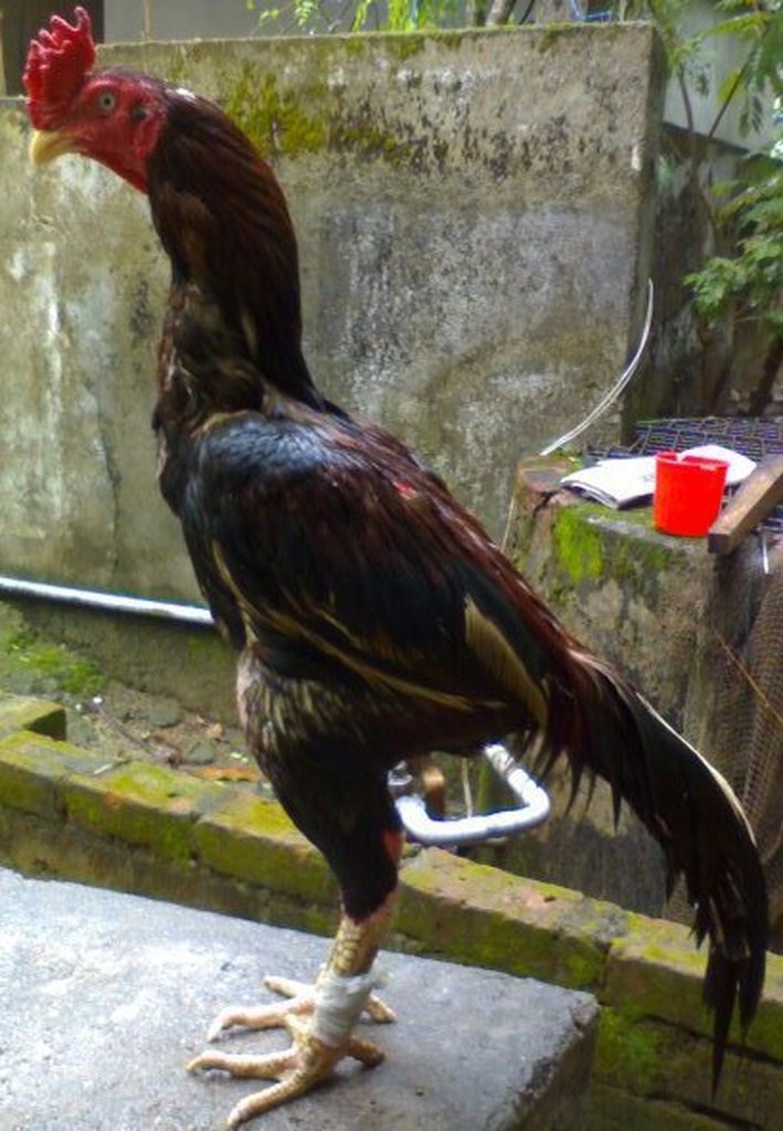 Chennai, or Madras, is the capital city of the Indian state of Tamil Nadu. Located on the Coromandel Coast off the Bay of Bengal, it is a major commercial, cultural, and educational centre in South India, while the port of Chennaiis the second largest port in India. As of the 2011 census, the city had 4.68 million residents making it the sixth most populous city in India; the urban agglomeration, which comprises the city and its suburbs, was home to approximately 8.9 million, making it the fourth most populous metropolitan area in the country. Although the area has been part of successive South Indian kingdoms through centuries, the recorded history of the city began in the colonial times, specifically with the arrival of British East India Company and the establishment in 1644 of Fort St George, an English settlement. The British defended several attacks from the French colonial forces, and from the kingdom of Mysore, on Chennai's way to become a major naval port and presidency city by late eighteenth century. Following the independence of India, Chennai became the capital of Tamil Nadu and a hotbed of regional politics that tended to bank on Dravidian identity of the populace. Chennai had become a bustling metropolis with beautiful classical and colonial European styled buildings, lining the city’s thoroughfares. The region around Chennai served as an important administrative, military, and economic centre since century. During 1st century CE, a poet and weaver named Thiruvalluvar lived in the town of Mylapore (A neighbourhood of present Chennai). From 1st century CE until 12th CE the region of present Tamil Nadu and parts of south India was ruled by the Cholas. Stone age implements have been found near Pallavaram in Chennai. According to the Archaeological Survey of India (ASI), Pallavaram was a megalithic cultural establishment, and pre-historic communities resided in the settlement. The Pallavas of Kanchi built the areas of Mahabalipuram and Pallavaram during the reign of Mahendravarman I. They also defeated several kingdoms including the Cheras, Cholas and Pandyas who ruled over the area before their arrival. Sculpted caves and paintings have been identified from that period. Ancient coins dating to around 500 BC have also been unearthed from the city and its surrounding areas. A portion of these findings belonged to the Vijayanagara Empire, which ruled the region during the medieval period Reference: 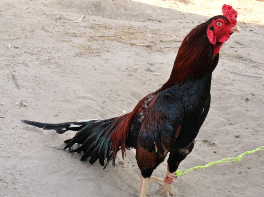 Mianwali is the capital city of Mianwali District and situated in the north-west of Punjab province, Pakistan. The city is located on the eastern bank of the Indus River. Thal canal traverses the city and makes the surroundings a picturesque place. According to the 1998 census of Pakistan, the Mianwali city had a population of 85,000 inhabitants. In November 1901, present day towns of Mianwali, Bhakkar, Isa Khel, Kalabagh, and Kundian were separated from Bannu District and hence a new district named as Mianwali District was created with the headquarters in Mianwali city. The municipal committee was founded in December 1903 and has remained operational since then. Before the British rule, the area formed an integral portion of the Graeco–Bactrian Empire of Kabul and the Punjab. During British rule, the Indian empire was subdivided into provinces, divisions and districts; afterward, the independence of Pakistan divisions remained the third tier of government until 2000. The British had made the town of Mianwali as tehsil headquarters of Bannu District then part of Dera Ismail Khan Division of Punjab province. The population of Mianwali, according to the 1901 census of India, was 3,591. In November 1901, the North-West Frontier Province was carved out of Punjab and the towns of Mianwali, Isa Khel, Kalabagh, and Kundian were separated from Bannu District (Bannu became part of NWFP) and hence a new district was made with the headquarters in Mianwali city and placed in Punjab. The district became a part of Multan Division. There were four tehsils namely Mianwali, Isa Khel, Bhakkar, and Layyah. Layyah was included in the Muzaffargarh District in 1909. The district became a part of Sargodha Division in 1961. Bhakkar Tehsil was carved out of Mianwali District and was made a separate district inside Sargodha Division w.e.f. 01-07-1982. Sawans is the One of famous UC of this district. Reference: |
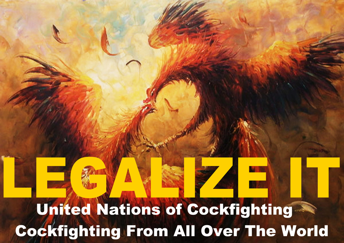
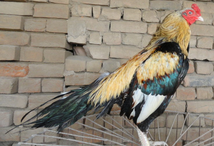
Website: Cockfighting From All Over The World
Categories
All
Archives
January 2013
|
 RSS Feed
